This picture gallery
records a cycle tour I made from Wanaka to Invercargill in January 2001.
The small images are a guide to larger, high quality images you can view
and make into your desktop wallpaper if
you wish. To do that:
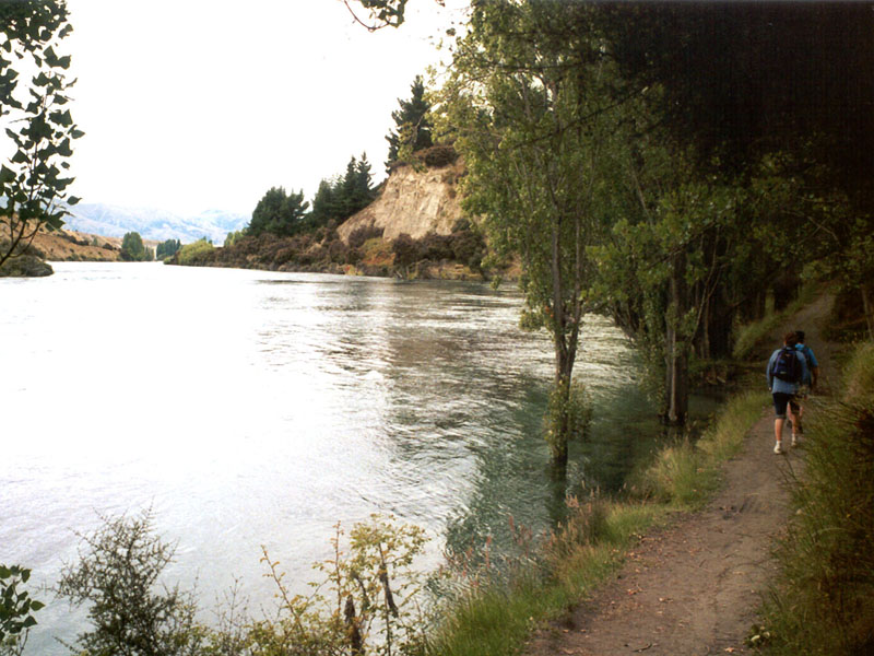
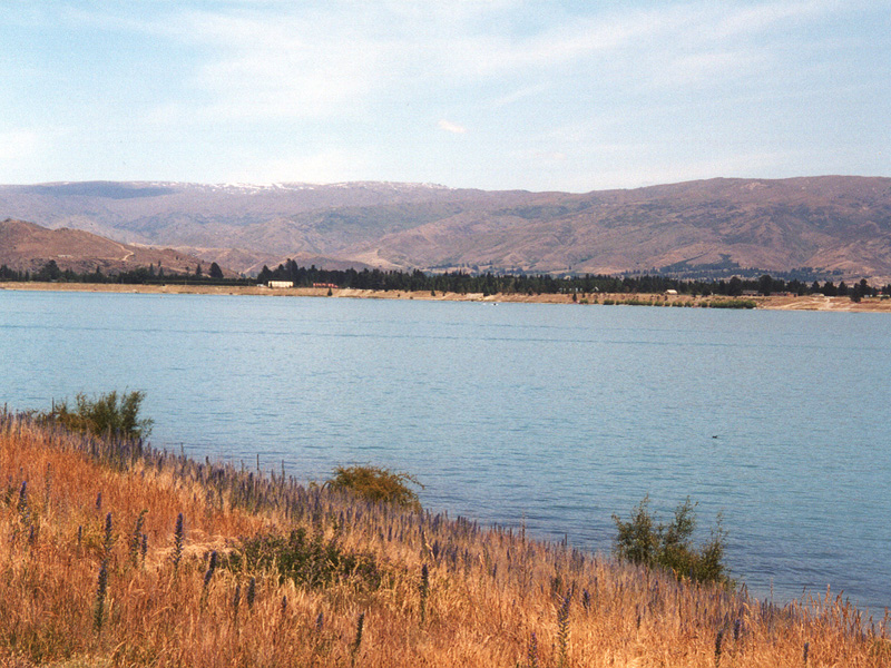
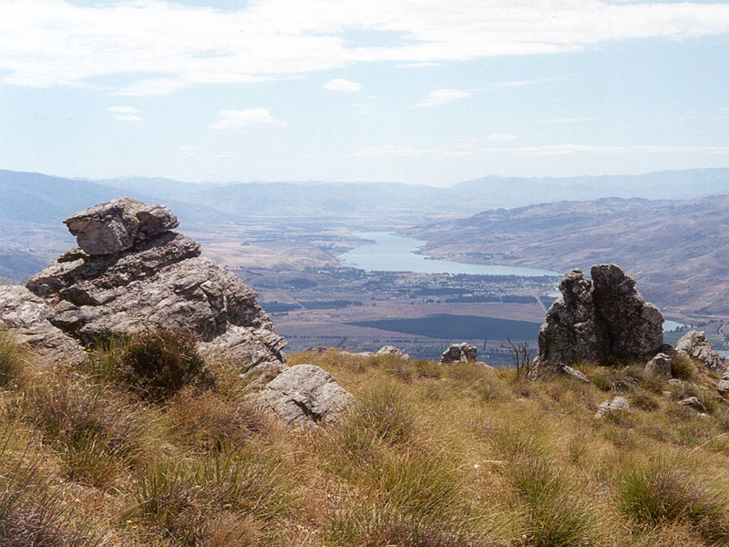
Travel Notes Wanaka is located in Central Otago in New Zealand's South Island. It is a high altitude area which has a low rainfall and is mainly very dry. One of New Zealand's largest rivers, the Clutha, has its headwaters at Lake Wanaka which is nestled up against the mountains of the Southern Alps. On my tour I first attempted to head south by traveling through farm property to avoid tar seal and vehicle traffic. I wanted to cycle down through the Motatapu valley to Macetown and Arrowtown, however the Motatapu Station owner had made access a commercial venture and I could not get through on the day (or at a price) that suited me.
|
|||
|
|
|
|
|
| A bit discouraged, I
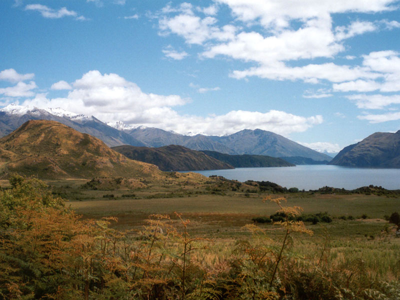
returned from Motatapu to Wanaka and the next day pedaled off on the tar
seal down the east side of Lake Dunstan to Cromwell. Lake Dunstan is an
artificial lake created as a result of building a Hydro-electric dam at
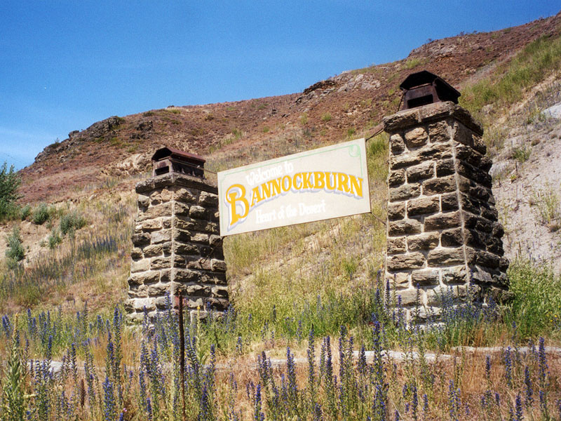
Clyde which is just down the river from Cromwell. I overnighted with
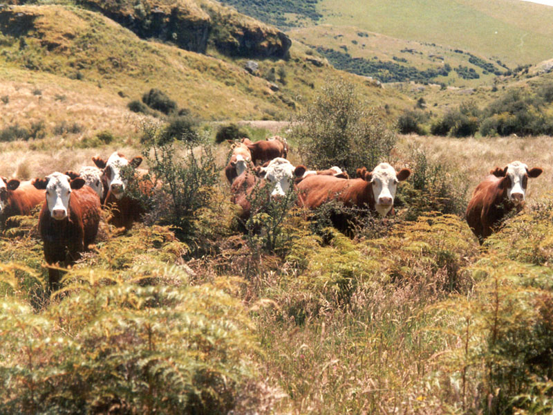
friends in an amazing little place called Bannockburn. This little gem has
a pub, a garage and about 20 houses. It is also surrounded by remnants of
the gold rush days and by acres of grapes. The vineyards are very recent
arrivals - my interest was in exploring the goldfields.
|
|||
|
|
|
|
|
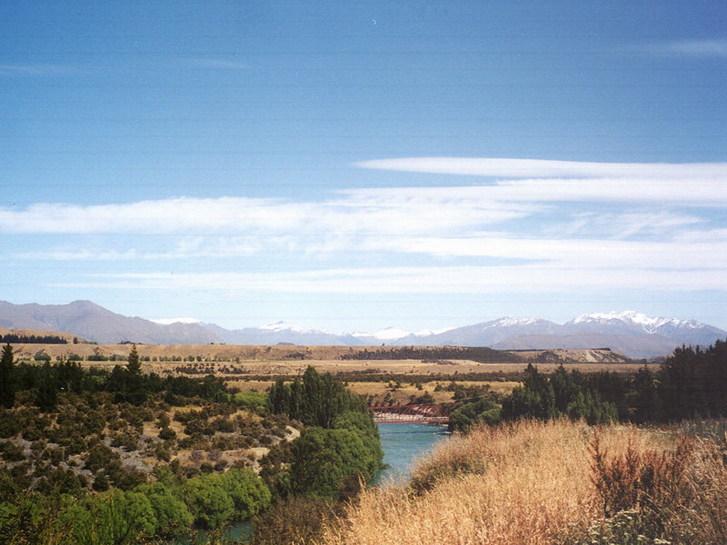
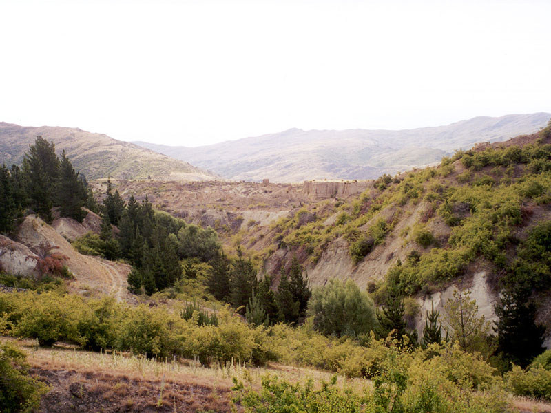
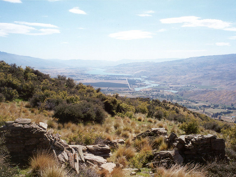
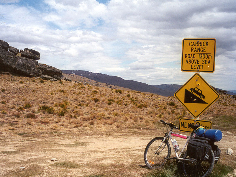
| The following day was the
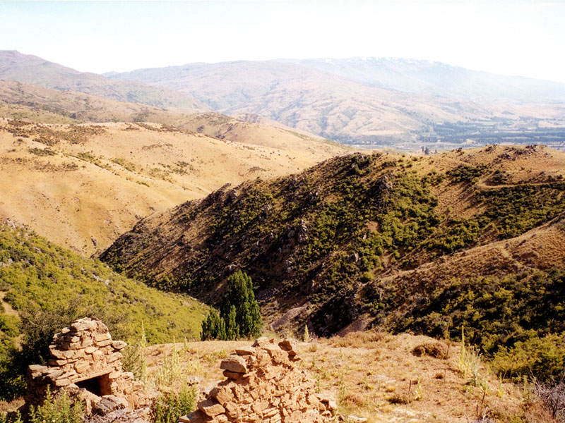
tough one. I intended to follow a four-wheel drive goat track from river
level up onto the mountain tops of the Carrick Range. This was easier to
plan on a map than to achieve in practice. It took me 6 hours of pushing
to make it, but the scenery along the way was superb - well worth stopping
to do some camera work (and to gasp for breath in the thinning air.) There
were diggings, stone huts and old mine sites located in small groups
beside the track, mainly near the mountain tops. Each mining area has been
made a part of the Otago Goldfields National Park.
|
|||
|
|
|
|
|
|
|
|
|
|
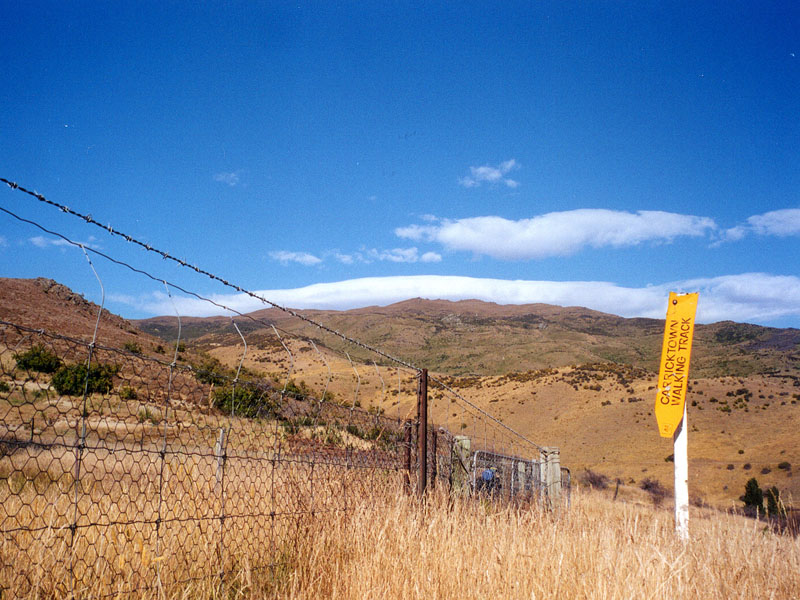
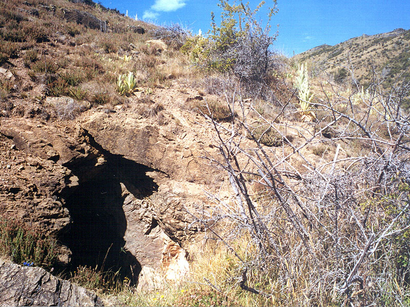
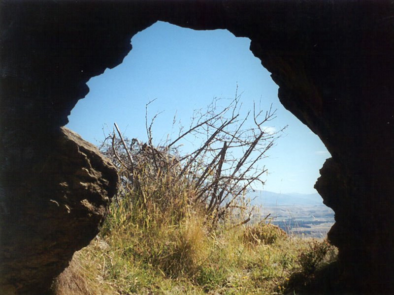
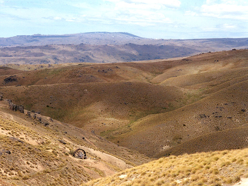
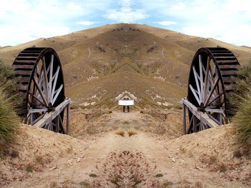
| One site that had been
well restored and conserved was the Young Australian mine. This site was
the main reason for my choosing the Carrick Track to get over the hills,
considering there was a well metalled road from Bannockburn further along
the range. The dominant feature of the site was a giant water wheel, with
a stamper battery across the valley. Even though I was getting close to
the top of the range, water courses were even further up the hill, now
providing water for irrigation rather than power for mining activities.
|
|||
|
|
|
|
|
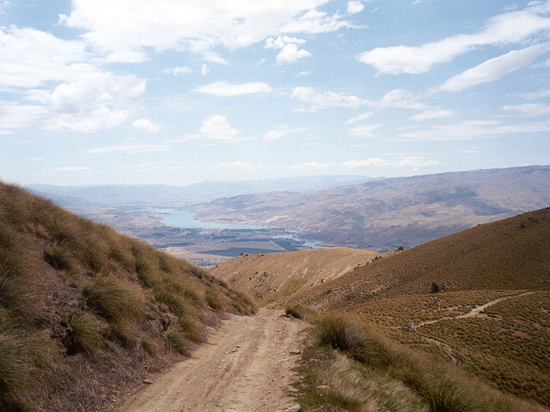
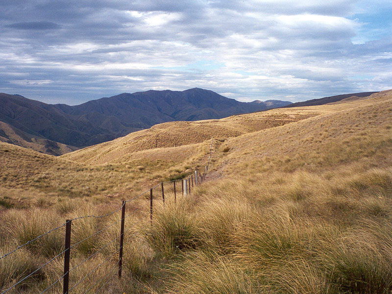
| Eventually there were
signs of progress! Cruising along the tops beside those great Central
Otago schist outcrops, views to beat anywhere in the world and a downhill
run to come. Excellent. After the plod and grind getting up the hill to
the road summit, the next 20 minutes were a wow! Fixed grin, ears flapping
in the wind, belting down a gravel road of dubious quality. Down into the
valley, across the Nevis River and, brakes cooling, a sedate peddle along
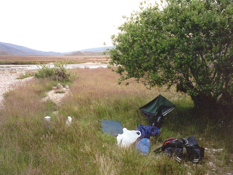
the valley floor. One of the pleasures of cycle touring - choosing which tree to camp under for the night. In the Nevis Valley it is a case of first, find a tree! This tour I was trialing a smaller and lighter tent-thing, a bivvy-bag which fitted one person (and a pillow with a bit of a squeeze). I found it was better in terms of smaller and lighter packing into a pannier bag, but was a bit restrictive for sleeping in. I was pleased I had fine weather on the tour as I had pitched camp a few hundred meters from the road beside the river. A nice, quiet little gravel flat - no floods expected! One of the drawbacks of camping out is the call of nature. No, no, not that (well, not all that) - I refer to the problem faced by a budding photographer waking up to a new day. Along with thoughts of how warm it is inside ones little bivvy and how cold the morning air feels on ones nose when peeking out, comes the understanding that one is about to witness a magnificent sunrise and that the camera is out of reach in a pannier bag. Oh dear. After an internal struggle, quickly unzip the fly screen, slide out onto the cold dewy grass, pad across the sharp little stones in ones bare feet, grab camera, compose and shoot magnificent sunrise, grumbling all the while. Welcome to Day 3.
|
|||
|
|
|
|
|
| Within 10 minutes of
leaving camp I stopped again (more arty photo shots in the morning light)
to look around an old mine site and buildings. Another 20 minutes up the
road I found a commercial company was reworking large areas of tailings
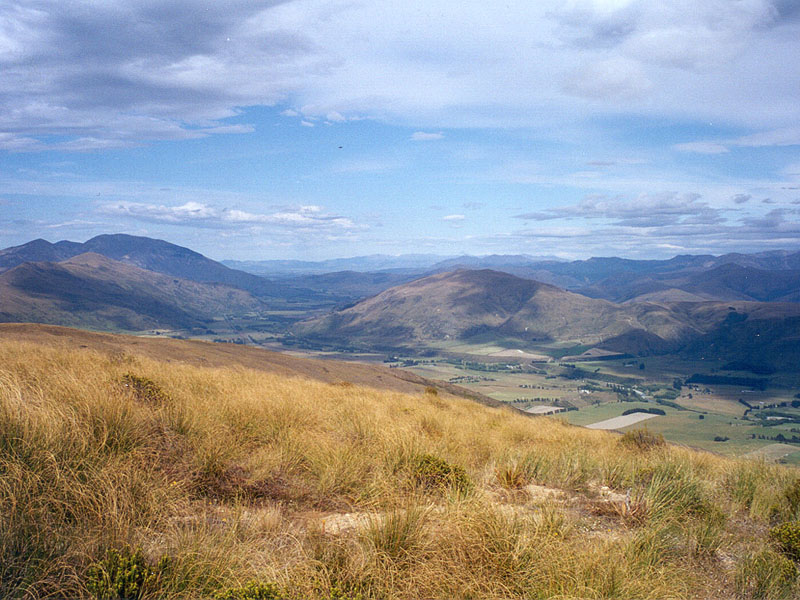
for any residual gold. It must be profitable. The main feature of this morning was the fords. As the road gradually climbed towards the head of the Upper Nevis valley, the gravel road and a meandering stream (the Nevis River) criss-crossed eleven times. It was always a bit of a gamble whether one would find a large rock in the middle of a ford, suitably placed to cause maximum excitement for cyclists. While I got my feet wet a few times, I did manage to keep my bottom dry. At the boundary fence for the Upper Nevis I could look down into the Nokomai valley and station - a place where my sister's in-laws had established themselves with pioneer gold mining and farming in Southland. My route would skirt the edge of Nokomai Station as I headed towards Garston and the main road. The top of this hill (The Home Stretch) marked the beginning of the end of my cycle tour. Once I reached Garston at the bottom of the hill I would be negotiating for space on the main road with the rest of the world. So I savoured this view. Here I was just above an old corrugated-iron hut that had once been the home of the Southland Ski Club and was now a stopping point for day-trippers and opossums. My Mum had ski'd here in her youth, I have ski'd here (IMY?) and I have watched the Kingston Flyer chuff its way up the valley towards Kingston on a frosty morning. Along my route I would cross the Mataura River, the five rivers of Five Rivers, the Aparima and the Oreti before reaching Invercargill after a slog across the Southland Plains. A tour to remember. |
|||